Over the past twelve months, Chester, whose day job is as a Denver city planner, has created thirteen new flags, bringing the total completed to date to 33.
According to Chester, corresponding via email, finding the best way to represent city sectors is complicated, in part because so many of them are currently moving targets.
"The neighborhoods that have undergone the most change have proven to be the most challenging," he notes. "A neighborhood like Highland, for example — it's one of the oldest neighborhoods in Denver, predates the city as a Native American encampment, was a neighborhood for the rich and well off since it was away from the smoke, etc., of downtown, then became an Italian immigrant neighborhood, then the hub of the Chicano movement in Denver, then the hub of urban reinvestment and new construction more recently. Good luck summing that all up in a few basic shapes and colors!"
He adds that "other neighborhoods, like Jefferson Park, North Cap Hill and Cap Hill, for example, share similar stories. The neighborhoods like Harvey Park that haven't been 'reinvented' multiple times over the years have proven to be a bit easier to design."
Still, Chester keeps plugging away, and if he manages to complete two flags each month, he'll be done in roughly two years. But to him, "the journey is more important than the destination. I am trying to challenge myself, but since this is purely a passion project, the most important part is to have fun. If it stops being fun, then I'll stop."
Thus far, the reactions from the residents of neighborhoods for which he's completed flags "have been positive," he reveals. "A bunch of folks have reached out to me with ideas for their respective neighborhood flags, which is cool, but I remind them that this is just my take on a flag for each neighborhood, and I encourage them to design their own flag for their area."
Of late, he's been contacted by "people from RiNo or LoHi or Mayfair, who say that they don't see a flag for their neighborhood on my website, and I have to remind them that I am starting with the 78 statistical neighborhoods. Overall, there is confusion about what a statistical neighborhood is. Some make sense (like Cap Hill), some boundaries seem right but the names seem wrong (like Civic Center vs. Golden Triangle), and some just seem arbitrary (like Speer, which most people think is either Wash Park or Alamo Placita). Statistical neighborhoods aren't perfect, but at least they are a starting point, and the names/boundaries won't change over time."
In the meantime, Chester points out, "I have gotten a bunch of requests from people to buy my flags, and while I never intended to produce and sell them, I have been looking into it and hope to have something set up in the next couple of months."
Continue to see all 33 of the neighborhood flags Chester has assembled to date — the latest thirteen first, followed by the previous twenty, complete with captions that reproduce his descriptions. For more information, visit the Flags of Denver Facebook page.
NEW DENVER NEIGHBORHOOD FLAGS SINCE AUGUST 2017

Barnum West: "This west side neighborhood is named for P.T. Barnum who owned the 760 acres which make up much of neighborhood. While violating some of the flag design rules, an exception can be made in this unique circumstance in order to honor the history of the neighborhood's original booster. Barnum was divided into two statistical neighborhoods in 1970 to create neighborhoods of roughly the same population at the time."

Bear Valley: "Bear Creek cuts through this southwest Denver suburban styled neighborhood, creating sweeping views to the west and convenient access to recreational opportunities. The valley created by the creek is represented in the flag, along with the waterway's namesake."

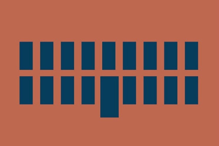
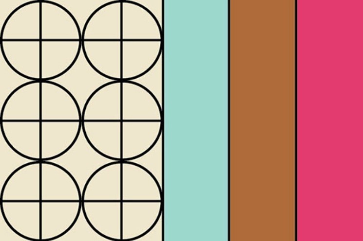
Central Business District: "This neighborhood is the main financial, commercial, and entertainment district in the City, while also serving as a cultural hub focused around the Performing Arts Center. More residential buildings have been built recently, creating a true 24-hour neighborhood. The flag symbolizes the paver pattern and colors of the 16th Street Mall, designed by famed architect I.M. Pei, which was inspired by the Navajo rug and a diamondback rattlesnake."
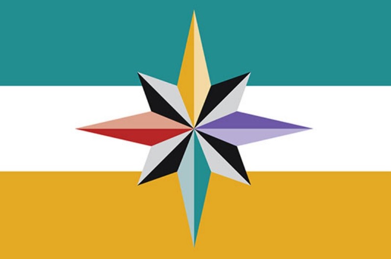
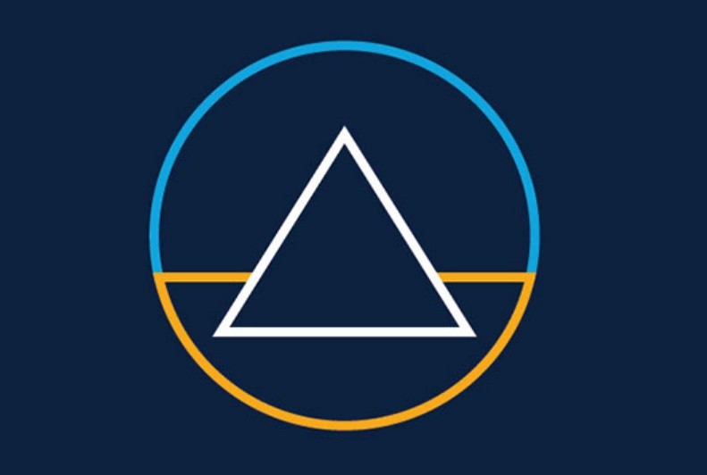
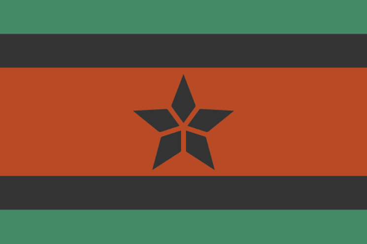
City Park: "A majority of this central Denver neighborhood is comprised of the 330 acre park that shares its name. Many destinations and amenities can be found in and around the park, including the MLK memorial, whose star shaped design is depicted on this flag. The colors represent East High School (brick red), the City Park Golf Course (green), Denver Zoo (purple), and Museum of Nature and Science (yellow), all landmarks found within the neighborhood."
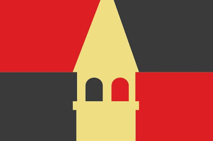
Cole: "First developed in 1874, the neighborhood is named after Carlos M. Cole, who served as superintendent of Denver Public Schools and was instrumental in establishing junior high schools in Denver. The grand entry of the colonial revival styled Cole Junior High School (now Cole Arts and Sciences Academy) is depicted in the flag, in the colors of the Iowa state flag, Cole's home state."
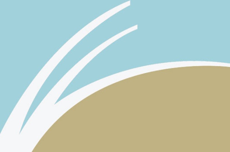
Green Valley Ranch: "This far northeast suburban-styled neighborhood was primarily productive agricultural land owned by the Elbert family who homesteaded the land in 1868. In 1973 the land was annexed into the City and County of Denver, and much of it was master planned and developed starting in the early 1980s. The flag represents the area's agricultural past and the rolling plains to the east of the neighborhood."
Harvey Park: "This southwest Denver neighborhood is well known for its unique collection of mid-century modern homes. Many of the homes in the neighborhood were designed by famed architect Cliff May, who is credited with creating the California Ranch-style house in 1932. May's designs continue to be published and recognized for their unique Californian qualities of a casual indoor/outdoor relationship, and the horizontal low-slung profile that harmonizes with nature, rather than overpowering it."
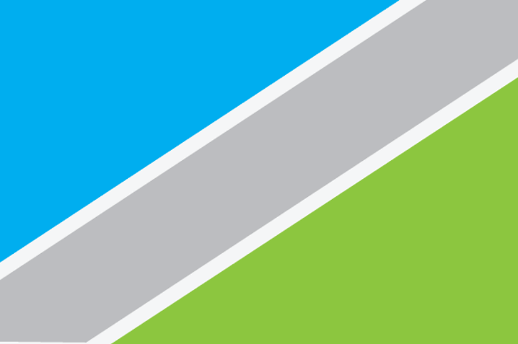
Hilltop: "Hilltop got its start in 1885 with the construction of the City Lateral Canal and later the extension of streetcar lines into the area. In the center of Hilltop is Cranmer Park, with its iconic sundial which was dynamited by a vandal in 1965 and then replaced. The diagonal of the flag is 50°17' the same as the gnomon of the sundial, separating the blue of the canal and the green of the park. Additionally, the silver stripe traversing the flag represents the neighborhood’s former streetcar tracks."

Marston: "John Marston raised cattle and farmed the gently rolling hills of this southwestern Denver neighborhood long before the area was subdivided and developed in the 1960s. Marston Lake, which makes up much of the area, is named after the early farmer. Today the neighborhood is primarily single family homes and suburban commercial strips. The blue represents the bodies of water in the neighborhood while the green represents the area's agricultural past."
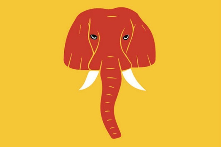
Montbello: "Founded in 1966, this Far Northeast Denver neighborhood's name translates from Italian to 'beautiful mountain.' Striking views of Mount Evans, Long's Peak, and the Continental Divide from the area inspired developers to name this new neighborhood after the picturesque mountain region in the Italian Alps."
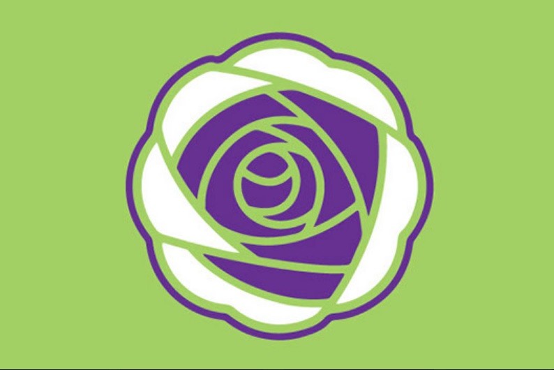
Rosedale: "This south Denver neighborhood is primarily made up of Harvard Gulch Park and its surrounding residential areas. In 1871, Denver pioneer Thomas M. Field bought 80 acres of land and built a large home that later became the State Home for Dependent Children that cared for over 17,000 children through the years. The green represents the sprawling park, while the purple rose symbolizes the hope and compassion for the children that called this area home from 1902 to 1972."

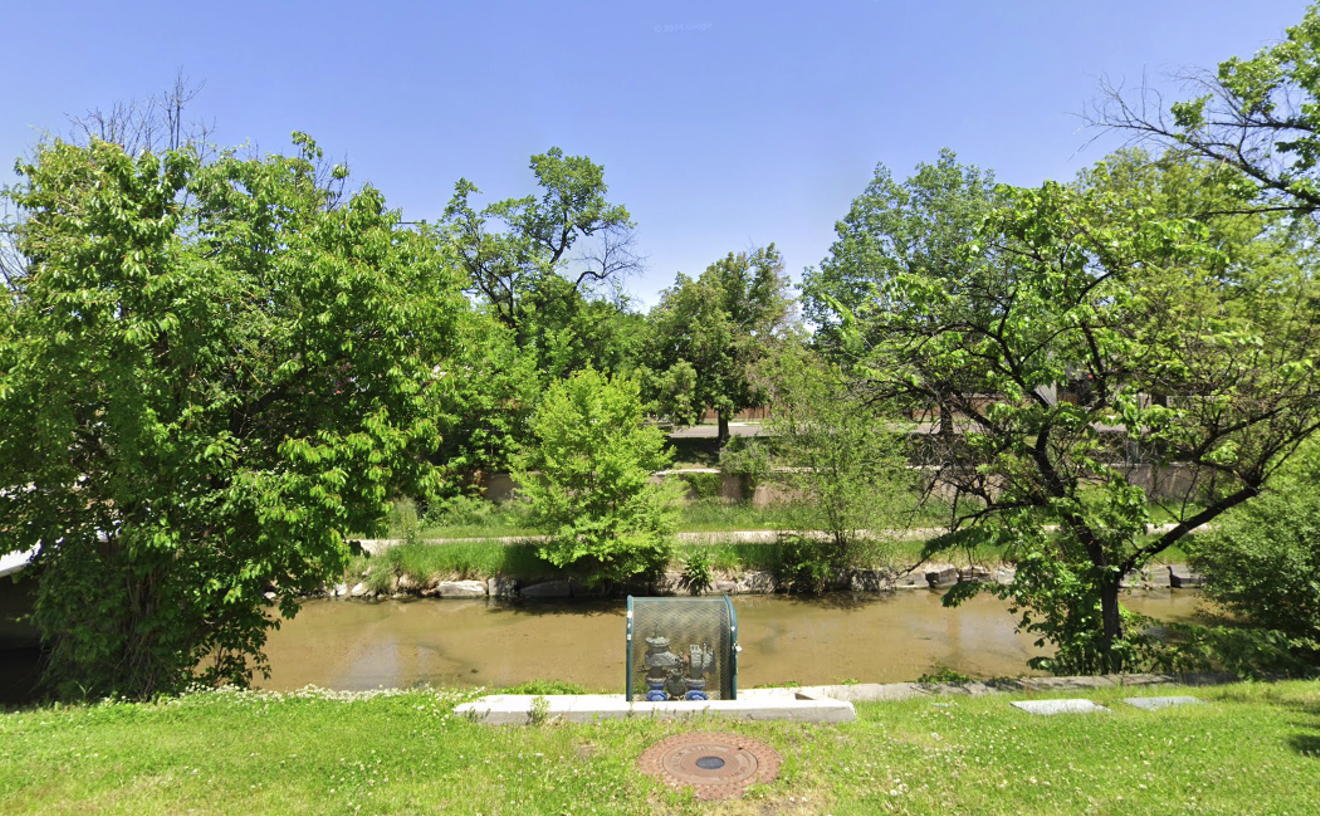
Valverde: "This near westside Denver neighborhood's name translates to "green valley" from Spanish. Founded in 1899, the early developers saw the beautiful area buffering the South Platte River as a valley of flourishing natural vegetation and trees. The same river which gave the neighborhood its name also almost led to its destruction in the flood of 1965, when nearly 3,000 buildings in the neighborhood were damaged or destroyed. The river and natural topography are reflected in the design of the flag."
DENVER NEIGHBORHOOD FLAGS CREATED THROUGH AUGUST 2017
Barnum: "This west side neighborhood is named for P.T. Barnum, who owned the 760 acres which make up much of neighborhood. While violating some of the flag design rules, an exception can be made in this unique circumstance in order to honor the history of the neighborhood's original booster."
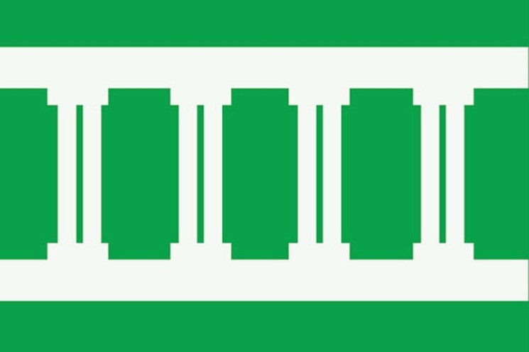
Belcaro: "The neighborhood gets its name from the mansion of Lawrence C. Phipps who was a United States Senator from 1919-1931. The distinctive window pattern and the red brick facade of the Belcaro mansion are the inspiration for the flag."
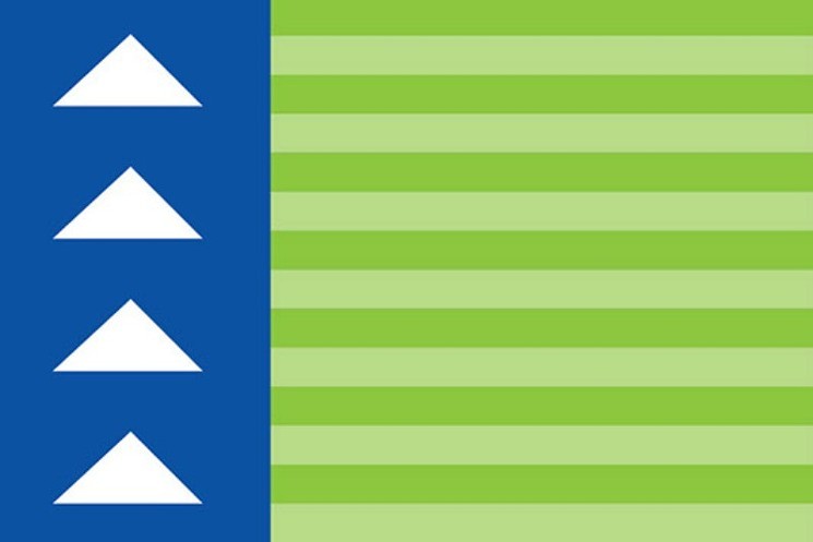
Berkeley: "Named after Berkeley Springs, WV, this neighborhood was mostly alfalfa and celery farms irrigated by Rocky Mountain and Berkeley Lakes. William Lang was commissioned to design the first 35 houses of the development of the nearly 1,500 acres of farm land. The flag features green stripes for this agricultural history, blue water, and white peaked gables seen on many of Lang's designs."
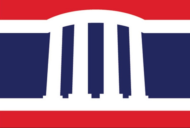
Cheesman Park: "The park the neighborhood is named after was originally the Prospect Hill Cemetery, but was converted to a park in 1907. The flag is inspired by the neoclassical pavilion in the center of the park, dedicated in 1908 to honor Denver pioneer Walter Cheesman."
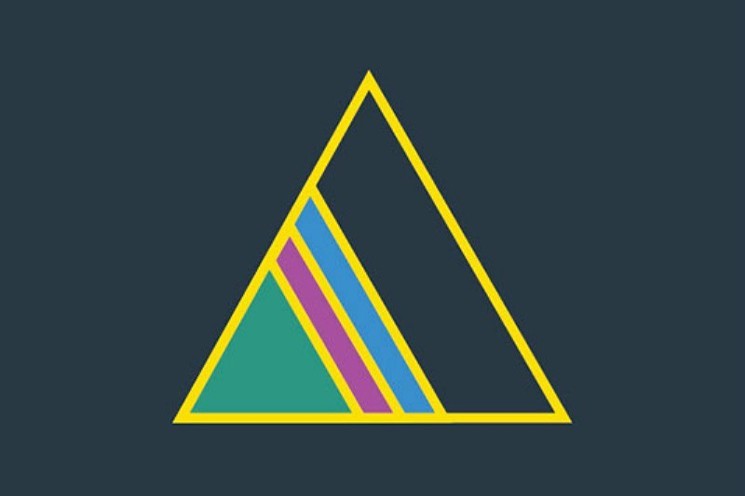
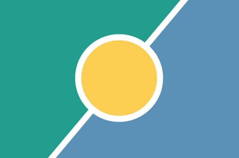
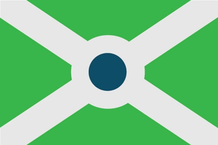
Civic Center: "Also known as the Golden Triangle, this neighborhood is the civic and cultural hub for the city, home of City Hall, the State Capitol, Denver Art Museum, History Colorado, among other institutions. The flag's central icon is a nod to the common neighborhood moniker, while the green represents Civic Center Park, purple- the arts, and blue- the civic functions located in the area."
Congress Park: "Congress Park grew in the 1890s due to the cable car lines extending east from downtown. In 1903 the neighborhood became home to the city nursery, just south of early Denver's largest reservoir, still present today (albeit underground). The gunmetal, green, and blue color way is representative of this neighborhood's history."
Five Points: "The gray bars represent the street car lines which made this neighborhood the first streetcar suburb in the late 1800s. The collision of the different grids of downtown create the namesake five points intersection. The color scheme is based off of the colors of the Harlem flag, since Five Points was known as the Harlem of the West."
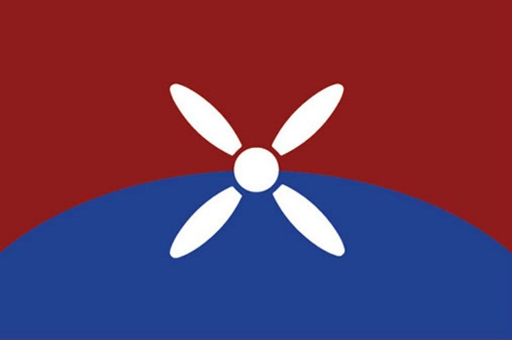
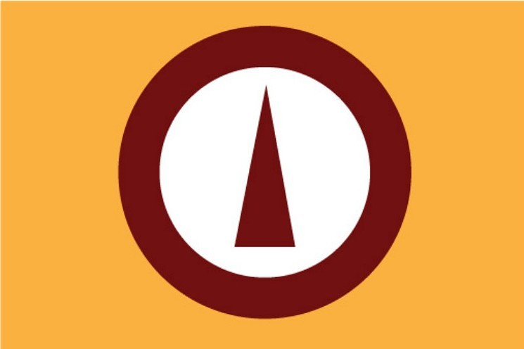
Lowry Field: "The area in which this neighborhood now stands is the former Lowry Air Force Base, a training base used during World War II and the Cold War, and the initial site of the U.S. Air Force Academy from 1955-1958. This aviation history is represented by the propeller icon, along with the curve of the Hanger 2, which still stands today. The blue of the flag is officially known as US Air Force Academy blue."
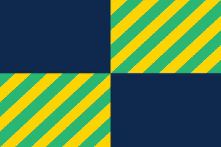
Montclair: "This east Denver neighborhood flag's colors are an homage to the homeland of the area's founders, Matthias P. Cochrane of New Jersey and Baron Walter von Richthofen of Germany. The opposing quadrants show the tension the neighborhood experienced in the early 1900s when they fought annexation into Denver all the way to the Supreme Court. The central icon is the cupola of von Richthofen's 'Molkery,' representative of the "TB houses" in the area designed for tuberculosis sufferers."
Regis: "Originally the College of the Sacred Heart, Regis University outgrew its original home in Morrison and moved to Northwest Denver in the late 1800’s on 40 acres of farmland donated by John Brisben Walker. The land not used by the University was subdivided into the rest of the existing neighborhood. The flag's diagonals, and gold and blue are borrowed from the University’s crest, while the green rows symbolize the crops that once grew in the area."
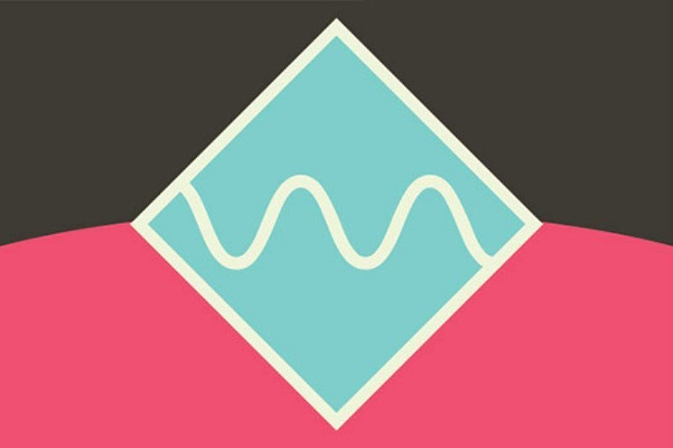
Ruby Hill: "This neighborhood is named for red stones found in the area by early miners, stones that turned out to be garnets. Ruby Hill is home to both Denver's largest bike park, and a snow sports park in the winter. Additionally, Levitt Pavilion is located in the area, a premier outdoor concert venue. The flag features a ruby colored hill, and a distinctive wavelength image representing both music and the sports parks in the neighborhood."
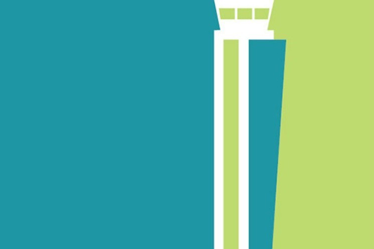
Stapleton: "Originally the home of Denver's first international airport, this neighborhood has transformed into a New Urbanist community, and one of the largest urban infill projects in the country. The airport's control tower still remains as a nod to this area's history, but now the runways are sprawling open spaces, tree-lined streets, and welcoming front porches. The blue represents the neighborhood's aviation history, while the green signifies the neighborhood's rebirth."

Sun Valley: "The blue is for the S. Platte River, the eastern edge of the neighborhood and the burnt orange is a homage to the colors of DHA's Sun Valley Homes, home to most of the neighborhood's residents. The blue/orange colorway matches the Denver Broncos, whose stadium looms over the neighborhood from the north."
University: "The University neighborhood is home to the University of Denver. A potato farmer donated the initial 80 acres for the campus when the university decided to move its home from Downtown Denver. Completed in 1999, the Williams Tower at the Richie Center is the central icon of the flag, whose colors match those of DU."
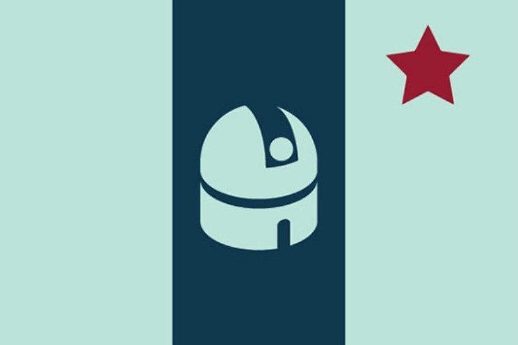
University Park: "This south Denver neighborhood was founded in 1886 and advertised for its unsurpassed mountain views, distant from smelters, with pure air and no saloons, represented by the flag's sky blue. The central icon on the flag is the Richardson Romanesque styled Chamberlin Observatory, completed in 1890, and listed on the National Registry of Historic Places. The crimson star is a nod to the neighborhood's ties to the University of Denver, who still use the observatory for astronomy classes."
Villa Park: "Weir, Lakewood, and Dry Gulches run through this west Denver neighborhood, creating hilly terrain and sweeping views. The undulating topography and waterways create geographic barriers for the neighborhood . The gunmetal sun represents the new transit oriented future for the neighborhood by the opening of the W rail line, better connecting this neighborhood to downtown and to the west."
Virginia Village: "Krisana Park and Lynwood, two areas within this neighborhood, contain some of the finest examples of mid-century modern residential architecture in the US. The Mid-Century modern movement was a reflection of the International and Bauhaus movements. The colors and shapes of the flag reflect these designs."
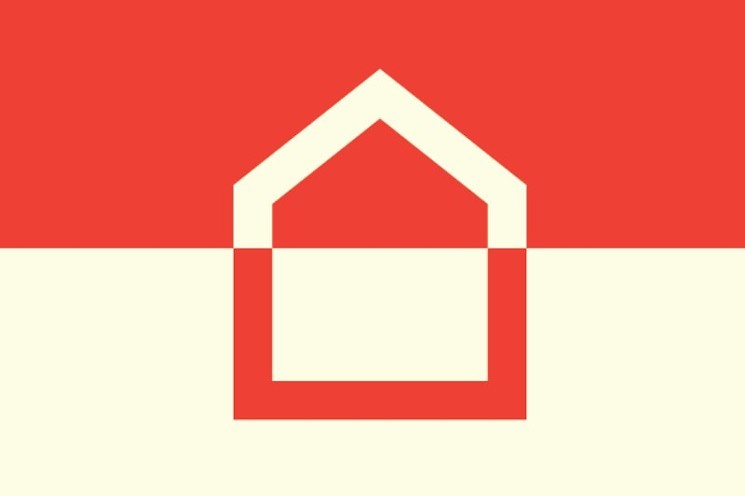
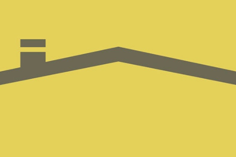
Washington Virginia Vale: "This Southeast Denver neighborhood is home to Four Mile Park, which has served many purposes over the years from a stop on Cherokee Trail, to farming, ranching, and currently as home to the oldest standing residential structure in the Denver area (built 1859). The colors and architecture of the iconic house are represented in the design."
Washington Park: "Washington Park is the prime attraction in the neighborhood bearing its name. Designed by Reinhard Schuetze in 1889 and later tweaked by the Olmstead brothers, this lush retreat is well-appreciated by all Denverites. The park features a replica of Martha Washington's garden at Mount Vernon, whose design is represented in the flag. Additionally, the blue represents the lakes of the park, along with City Ditch, which is listed on the National Register of Historic Places."
Washington Virginia Vale: "This Southeast Denver neighborhood is home to Four Mile Park, which has served many purposes over the years from a stop on Cherokee Trail, to farming, ranching, and currently as home to the oldest standing residential structure in the Denver area (built 1859). The colors and architecture of the iconic house are represented in the design."
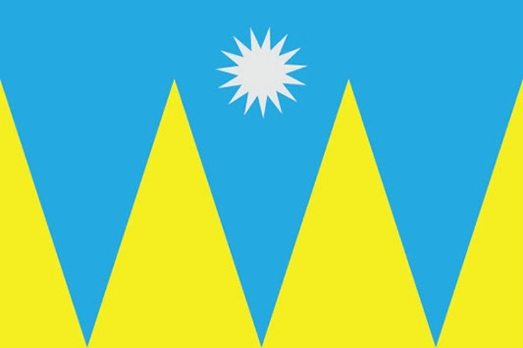
Westwood: "The residents of Westwood are over 80% Latino, most of which are 1st or 2nd generation Mexican immigrants. This Mexican heritage, along with a distinctive W, inspires the flag for this proud West Side neighborhood. The diagonal represents Morrison Road, the main commercial street of the neighborhood which bisects the area."